Details
✕
Click a port (marker) or route (line).
Mediterranean Ferry Map
The Mediterranean is not one single ferry network but a mix of separate ferry regions. It includes island groups, mainland crossings, and longer sea routes in the same area. You can use this page as a starting point for regions such as the Balearic Islands and the Greek islands.
Explore ferry destinations in the Mediterranean
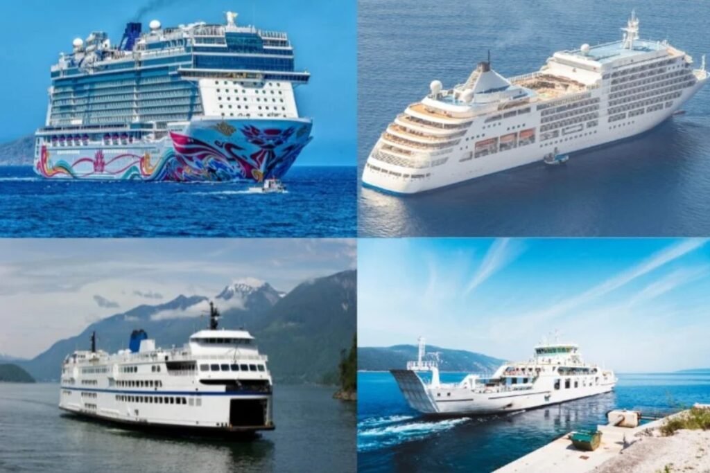
Ferries in the Mediterranean
“The Mediterranean looks like one big ferry world on the map, but it really feels like several different seas stitched together. A short island hop in one area can turn into an overnight crossing with cabins and cars in another.”
Before you follow the routes on the map across the Mediterranean, keep these two regional realities in mind.
- The biggest mistake is treating the region as one simple network. In practice, the western Mediterranean, Greek island systems, and long North Africa links all work very differently in frequency, vessel type, and planning style.
- Ports that look central on the map are often the real key to the network, so it is usually smarter to plan around the main hubs first and only then work outward to smaller islands or secondary crossings.