Details
✕
Click a port (marker) or route (line).
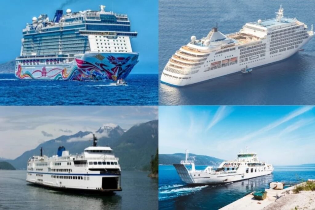
Greek Islands Ferry Map
The Greek Islands form one of the biggest island ferry systems in Europe. This page brings together separate regions such as the Cyclades, Dodecanese, Ionian Islands, and Saronic Islands. It is most useful as a wider overview of how these island groups fit together.
Explore ferry routes across the Greek Islands
Logistical essentials for the Greek Islands
“The Greek Islands look like one huge ferry network on the map, but they do not work like one simple system. In practice, each island group has its own rhythm, its own hubs, and its own weak points.”
Before you follow the routes on the map across the Greek Islands, keep these two regional realities in mind.
- The biggest mistake is treating all islands as part of one interchangeable network. In reality, regions like the Cyclades, Dodecanese, Ionian Islands, and Saronic Islands all work differently.
- Direct connections are not guaranteed between islands that look close on the map, so it is usually smarter to identify the main transfer hubs first before planning a multi-island trip.