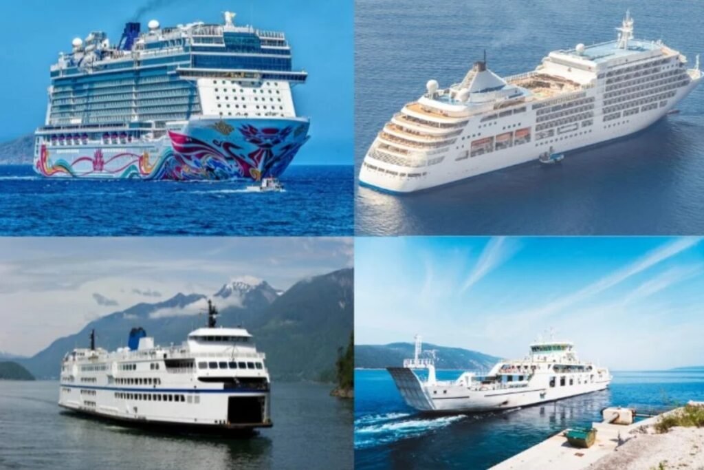
The English Channel is built around a small number of very important ferry ports, especially Dover, Calais, Dunkirk, Newhaven, and Dieppe. Dover is the clear heavyweight, handling millions of passenger and freight movements each year, which shows how concentrated cross-Channel traffic is on the Short Straits. Most routes are short, direct, and designed for fast turnaround, with Dover-Calais and Dover-Dunkirk doing much of the heavy lifting, while Newhaven-Dieppe plays a smaller but still useful role. Compared with the Mediterranean, this network is tighter, more road-focused, and far less about island hopping.
“The Channel ferry looks short and easy on the map, but the terminals feel more like border crossings than local harbors. Cars, freight, passports, and tight loading windows shape the whole experience.”
Before you follow the routes on the map across the English Channel, keep these two regional realities in mind.
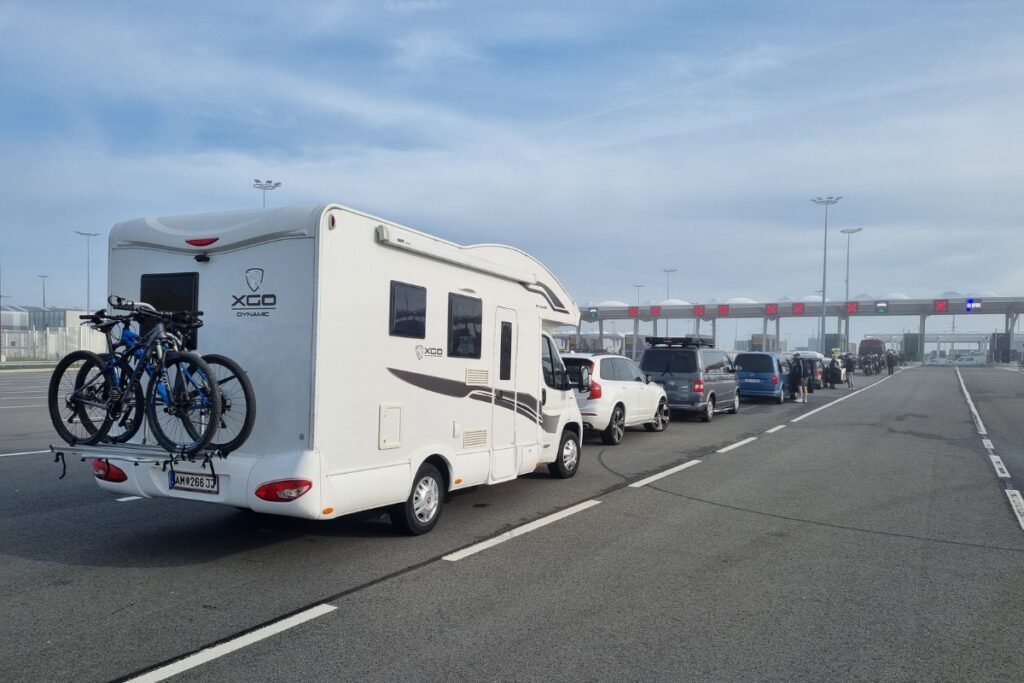
These are short crossings, but they are not casual ones. On many routes, you need to arrive well before departure because check-in, border controls, and vehicle processing all happen before boarding.
The map may show several lines, but traffic is concentrated on a few major corridors, so port choice matters more here than in many island regions, especially if you are travelling with a car.