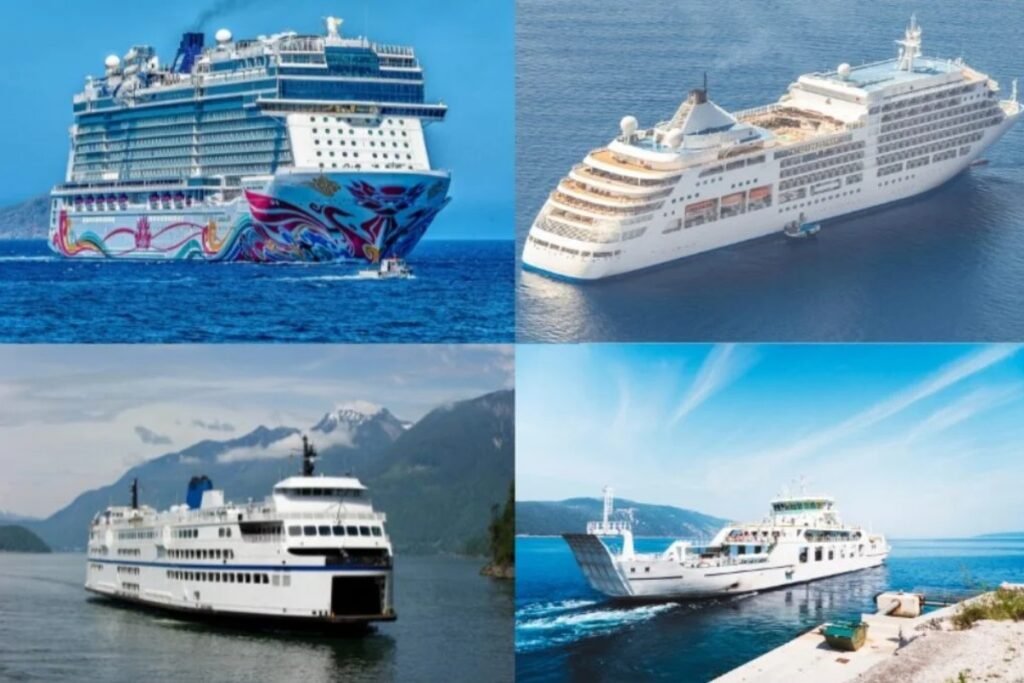
The map above shows how the Adriatic ferry network works less like one single system and more like a chain of coastal and international corridors. The busiest crossings are concentrated between Italy and the eastern shore, especially on routes heading toward Croatia and Albania, while longer overnight services also connect the region with parts of Greece. Unlike the dense island hopping patterns in the Aegean, Adriatic ferry travel is more focused on vehicle traffic, longer crossings, and heavy seasonal demand. That makes this sea feel less like a commuter zone and more like a practical maritime bridge between two very different sides of southern Europe.
Explore more ferry routes across the Adriatic
How to read the Adriatic map without oversimplifying it
The Adriatic looks clear on the map, but the strongest routes are concentrated on a limited number of longer crossings. This is a sea of coastal links, overnight ferries, and a few important international corridors rather than one dense local network.
Think coast to coast first: The main logic is not island hopping, but crossings between Italy and the eastern shore, especially toward Croatia, Albania, and parts of Greece.
The map is stronger than the daily frequency: Some lines look important on the page but still depend heavily on season and operator schedules.
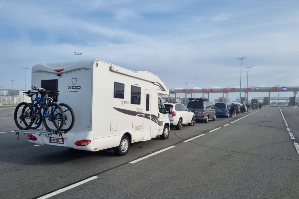
Vehicle traffic matters a lot: This is one of the reasons the network feels less flexible than the Cyclades or other Greek island systems.
One useful map insight: The Adriatic works best when you read it as a set of sea bridges between two coastlines, not as one fully connected ferry web.