Home » Destinations » Wellington
Ferries to Wellington: Route Map
Ferry routes to Wellington cross the notoriously rough Cook Strait, arriving directly into the North Island’s busy capital harbor. Interislander and Bluebridge operate as the largest carriers here, moving roughly one million passengers and heavy freight across the water annually. Review the ferry map above to trace the exact 3.5-hour maritime journey arriving from the southern docks. Bringing a car is highly practical if you are executing a massive national road trip and arriving from a trip to Picton.
From South Island to Wellington
Showing all 2 services
Gemini zei
Route guide: Logistics for the Cook Strait crossing
Accessing Wellington from the South Island (or vice versa) involves traversing the Cook Strait, one of the most unpredictable bodies of water in the world. Because this 92km stretch is the only “bridge” between New Zealand’s two main landmasses, the ferry system is a massive, 24-hour operation. Your choice of operator often comes down to your departure terminal location in Wellington and whether you prefer a corporate or a more local “Kiwi” service style.
| Operator | Wellington Terminal | Logistics Score |
|---|---|---|
| Interislander | Aotea Quay (North of CBD) |
The State Giant: Operates the largest fleet (including the Kaitaki). Best for rail-to-ferry connections via their dedicated shuttle from the train station. Large premium lounges available. |
| Bluebridge | Waterloo Quay (Opposite Train Station) |
The Inner-City Pick: The terminal is within walking distance of the CBD. Known for a “fewer frills” but highly efficient service. Offers overnight sleeper sailings with cabins. |
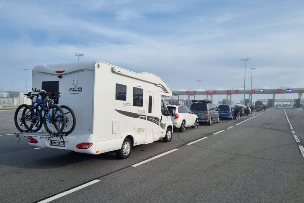
Many major rental agencies (Hertz, Avis, Thrifty) do not allow their vehicles to cross the Cook Strait. Instead, they operate a “terminal-to-terminal” swap. You drop your North Island car at the Wellington wharf, board as a foot passenger, and collect a new vehicle in Picton. This avoids the $250+ vehicle ferry fee, but you must ensure your booking is explicitly “inter-island” to guarantee a car is waiting for you on the other side.
Cook Strait Transit Protocols
The 3.5-hour journey is split into two halves: the open-sea “Strait” and the sheltered “Sounds.” Planning for both is essential:
- The “Wind Funnel” Effect: Wellington is the world’s windiest city for a reason. If the “Southerly” is blowing, the middle hour of the crossing can be extremely rough. Sit mid-ship on a lower deck to minimize motion, and avoid the cafeteria’s hot coffee until you reach the calm waters of the Tory Channel.
- Check-in Strictness: For vehicle boarding, the gate shuts 60 minutes before departure. During the 2026 peak season, traffic around Wellington’s Quays can be gridlocked; if you miss the cut-off, your “Flexible” ticket might be downgraded to standby, which could mean a 12-hour wait for the next slot.
- LPG & Dangerous Goods: If you are taking a campervan, all gas bottles must be closed and declared at the check-in booth. Marshals will “tag” your bottles. You are strictly prohibited from accessing your vehicle deck during the transit.
Biosecurity & Wildlife
Moving between the islands requires adherence to Ministry for Primary Industries (MPI) standards to protect New Zealand’s unique biodiversity:
- Clean Vessel Policy: If you are bringing a 4WD or mountain bike, ensure the tires are free of mud. This prevents the spread of Kauri Dieback and other soil-borne pathogens between the islands.
- The Marlborough Sounds “Slow Zone”: Once the ferry enters the Tory Channel, it slows down significantly to reduce “wake wash” which erodes the shoreline. This is the prime time for dolphin spotting—keep a lookout for the rare Hector’s Dolphin near the bow.
- Luggage Weight: Foot passengers have a 2 checked bag limit (max 23kg each), mirroring international flight standards. Self-service kiosks at the Wellington terminals make the check-in process fast, but overweight bags will incur a heavy surcharge.
Using this data helps you choose the right quay—confusing Aotea with Waterloo is a common mistake that leads to missed sailings. Check our specialized maps to locate the Wellington Waterfront relative to the Interislander and Bluebridge docks.