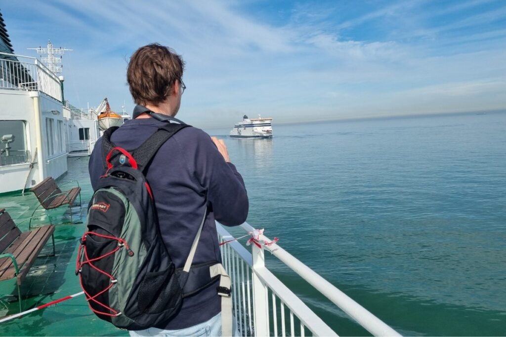
Accessing the southernmost point of New Zealand involves a one-hour crossing of the Foveaux Strait from Bluff, managed by RealNZ. This passenger-only ferry is the exclusive water link to Oban, depositing travelers directly into the heart of Rakiura National Park. Due to the notorious ocean swells in the strait, it is critical to check the operator’s daily weather alerts before arriving at the terminal to avoid sudden cancellations.
Route guide: Logistics for the ferry to Stewart Island
Crossing the Foveaux Strait to Stewart Island is famously one of the roughest passenger ferry routes in the world. The 1-hour catamaran ride connects Bluff (South Island) to Oban (Rakiura). For the 30,000+ annual visitors, the primary concern is not schedule, but sea state.
Departure Port
Operator
Logistics Score
Bluff Harbour
RealNZ
The Only Link: Daily scheduled departures. Passenger only (no cars). You must park your vehicle in the secure lock-up at Bluff Ferry Terminal ($15/day).
Invercargill Airport
Stewart Island Flights
Stomach Saver: A 20-minute flight that avoids the sea swells entirely. Often the only option when the ferry is cancelled due to weather.
⚠️ Expert Alert: The “Roaring 40s” Reality
The strait is shallow and exposed to the westerly winds of the Roaring 40s. Ferry cancellations are common in winter. If you have a tight international flight connection back on the mainland, do not travel on the day of your flight. Leave a 24-hour buffer or book the flight option which is less susceptible to swell.
Baggage & vehicle policy
Luggage Limits: You are limited to two bags per person (stowed in crates on the back deck). Carry-on must be small as the cabin is tight. Waterproof your bags if possible, as spray can lash the luggage deck.
No Rental Cars: You cannot take a rental car to Stewart Island. Most visitors walk (Oban is tiny) or rent a shuttle/scooter locally.
Using this data helps you prepare for a potentially rough crossing. Check specialized maps to plan your hike on the Rakiura Track.