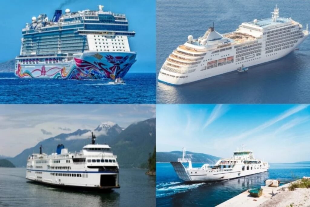
Guadeloupe serves as the primary gateway for ferry travel through the French Antilles. The map illustrates how the main port in Pointe-à-Pitre connects the butterfly-shaped mainland to its offshore dependencies and southern neighbors like Dominica and Martinique. The system is dominated by large, reliable catamarans that handle the often-turbulent Atlantic swells with ease. For those looking to explore the smaller, car-free islands of Les Saintes or Marie-Galante, the ferry is not just a scenic choice but the only practical way to move between the archipelago’s diverse landscapes.
Explore ferry destinations in Guadeloupe
Logistical essentials for Guadeloupe
“The ferry from Pointe-à-Pitre is like a lifeline for these islands. It’s a busy, local atmosphere where you’ll see everything from tourists with surfboards to locals heading home with groceries. The crossing to Les Saintes is especially stunning as you pull into one of the most beautiful bays in the world.”
Before you follow the routes on the map through the French West Indies, consider these two regional realities.
The Express des Îles is the main operator for long-distance island hopping, and because these ships cross open ocean channels, you should expect heavy swells during the winter trade wind season.
If you are heading to Les Saintes, most ferries depart from Trois-Rivières on the southern coast rather than the main city, which saves you nearly an hour of sailing time compared to leaving from the main hub.