Home » Destinations » Salt Spring Island
Map of Ferries to Salt Spring Island
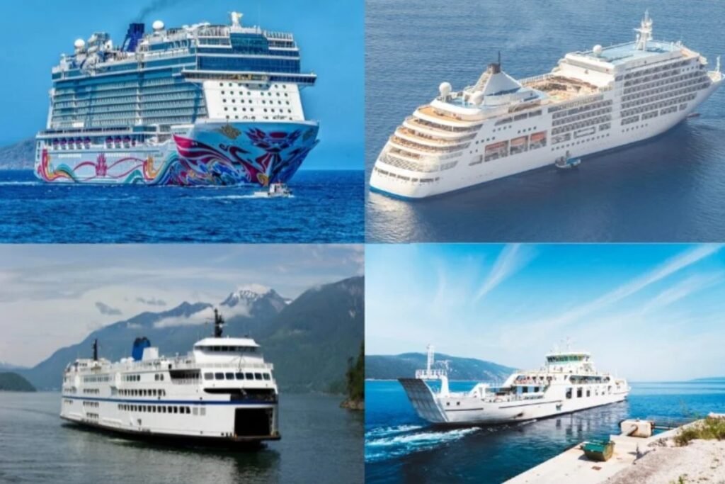
To reach Salt Spring Island, you take a BC Ferries vessel from either the Tsawwassen mainland terminal or Swartz Bay. As the largest operator in the province, their network moves over 22 million passengers annually, and the vessels on this specific route accommodate about 400 passengers per sailing. The crossing takes as little as 35 minutes if you are hopping over from a trip to Vancouver Island. This ferry is your only option to bring a car across the water, which you will want for accessing the island’s dispersed artisan studios and parks. Review the ferry map above to compare the three different docking locations. Since this is one of the most heavily trafficked local routes, reserving your vehicle spot early is essential to guarantee your departure time.
From British Columbia to Salt Spring Island
Showing all 1 services
Gulf Islands Hub: Salt Spring Island ferry data
Accessing Salt Spring Island requires navigating the Salish Sea via three distinct terminal points. As the most populated of the Southern Gulf Islands, Salt Spring acts as a central transit hub for BC Ferries. Logistics on the island are complex because the three different ports (Fulford Harbour, Vesuvius, and Long Harbour) connect to entirely different geographical regions of the British Columbia mainland and Vancouver Island.
| Island Terminal | Mainland/Vancouver Is. Link | Logistics Score |
|---|---|---|
| Fulford Harbour (South) | Swartz Bay (Victoria) | High Volume: A 35 minute shuttle service. Operates approximately 7 to 8 sailings daily. This is the primary commuter route for those arriving from the Victoria capital region. |
| Vesuvius Bay (Northwest) | Crofton (Vancouver Is.) | The Shortcut: A 20 minute crossing. Serviced by the MV Quinitsa. This route bypasses Victoria traffic for those traveling from Nanaimo or the northern parts of Vancouver Island. |
| Long Harbour (East) | Tsawwassen (Vancouver) | The Direct Link: The only direct route to the mainland. Duration varies from 1.5 to 3 hours depending on “island hopping” stops at Galiano, Mayne, or Pender Islands. |
The road distance between Fulford Harbour and Long Harbour is 14 kilometers (approx. 20 minutes driving). A common logistical error is booking a reservation out of Long Harbour to Vancouver while being physically located at the Fulford terminal. Ensure your GPS is set to the specific bay name, not just “Salt Spring Ferry.”
Operational Data & Boarding
- The “Experience Card” System: BC Ferries utilizes the Experience Card for frequent travelers, providing significant discounts on the Swartz Bay and Crofton routes. For the 2026 season, these cards must be pre-loaded with a minimum of $100 for vehicle discounts.
- Dangerous Goods Restrictions: Sailings marked “DG” (Dangerous Goods) on the 2026 schedule are restricted to commercial fuel trucks and hazardous materials. Passenger vehicle capacity on these specific sailings is limited to 10 or 15 cars, or prohibited entirely.
- Through-Fare Protocol: When traveling from Tsawwassen to Salt Spring via a transfer at Swartz Bay, ask for a “Through-Fare” ticket. This allows you to pay a single consolidated rate rather than two separate fares for the two individual crossings.
Using this terminal data ensures you select the correct port for your final destination: Vesuvius for the North end and Fulford for the South end. Check our specialized maps to locate the Ganges village center relative to the three ferry piers.