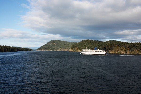
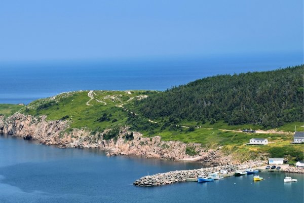
As the map illustrates, the ferry system in Canada is divided into two massive coastal networks and a unique inland system. In the west, the British Columbia South Coast operates one of the busiest car-ferry fleets in the world, while the east is home to the rugged crossings of Atlantic Canada. Because of the country’s vast scale, these ferries aren't just for sightseeing; they are vital highway links that connect the mainland to major hubs like Vancouver Island, Prince Edward Island, and Newfoundland.
Ferry travel can be complex. Seeing how routes connect makes planning easier. We structure ferry routes by region and destination, helping you see how ports, operators and crossings relate to each other.