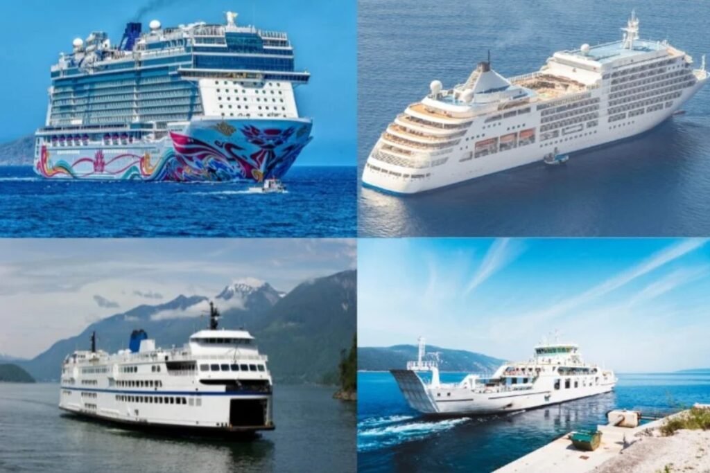
The map shows that the Canary Islands work mainly as an inter-island ferry system. Routes connect the main islands across longer sea gaps than in the Balearic Islands. This makes the page useful for seeing which islands are directly linked and which require a change.
Explore ferry destinations in the Canary Islands
Logistical essentials for the Canary Islands
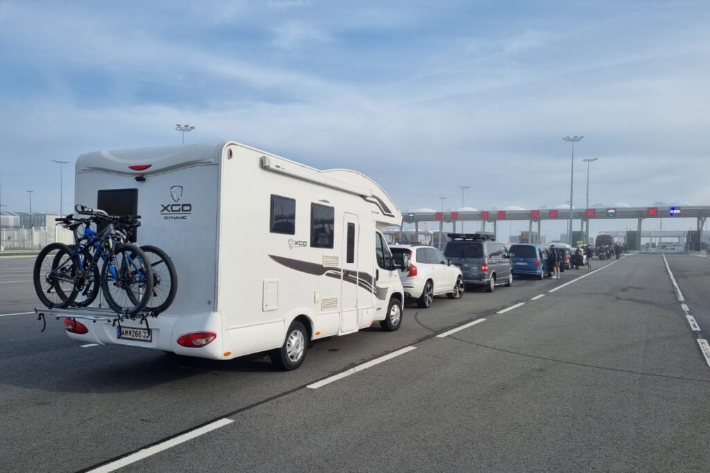
“The Canary Islands look close together on the map, but the crossings are longer and more weather-exposed than many travelers expect. Ferries here are not just for visitors – they are part of daily island transport for passengers, freight, and vehicles.”
Before you follow the routes on the map through the Canary Islands, keep these two regional realities in mind.
The main inter-island links are not evenly spread across the archipelago, so it is best to plan around the strongest hubs first, especially on routes involving larger islands.
Because these are open Atlantic crossings, sea conditions and distance matter more here than in tighter island groups, which can affect both comfort and timetable reliability.