Home » Destinations » D’Urville Island
Map of Ferries to D'Urville Island
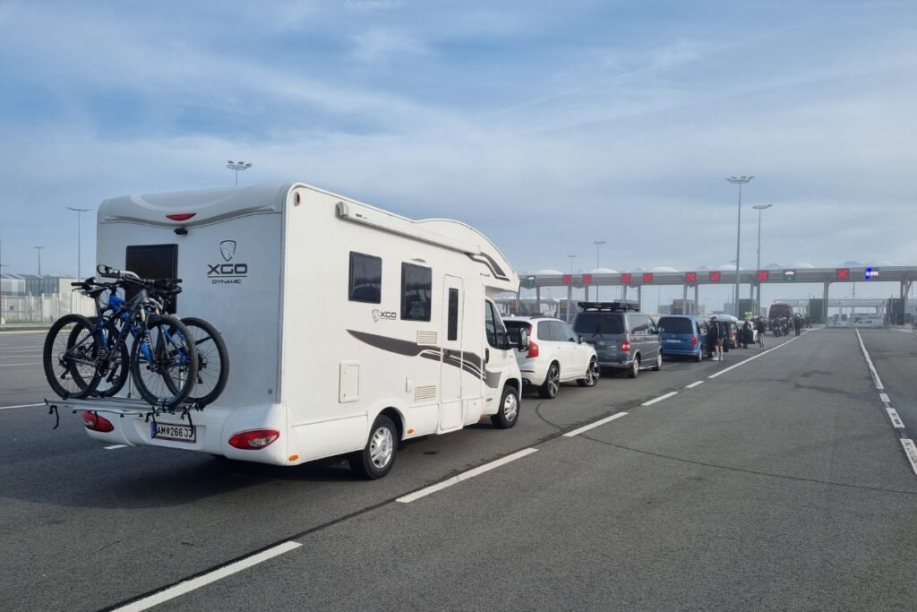
Taking a ferry to D’Urville Island involves a special 15-minute barge ride across the strong currents of French Pass. D’Urville Island Crossings is the largest operator helping locals and adventurous travelers cross this part of the Marlborough Sounds. You can review the ferry map above to see how remote it is compared to Picton. Bringing a strong 4WD vehicle on the barge is highly recommended, as the island’s dirt roads are very steep and rough.
From Marlborough to D’Urville Island
Strait access guide: Map of ferries to D’Urville Island
D’Urville Island is not a mainstream roll on route with multiple daily departures and a polished terminal building. It is a remote island access crossing tied to French Pass, a narrow and notorious waterway at the edge of the Marlborough Sounds. The practical ferry map is simple: you drive out toward French Pass, then cross by barge to Kapowai Bay on D’Urville Island, where the island’s public road network begins. The route is operational, but it feels more like remote access infrastructure than a standard tourist ferry corridor.
| Landing / Route Point | Island Context | Logistics Score |
|---|---|---|
| French Pass (Mainland side) |
The Launch Point: This is the mainland side of the crossing, reached by a long drive through the outer Marlborough Sounds. | Remote Access Only: This is not a casual harbour terminal. By the time you get here, you are already deep into one of New Zealand’s most isolated road approaches. |
| Kapowai Bay (D’Urville Island) |
The Main Arrival Landing: The barge crosses directly here, and this is where the island’s 60 plus kilometres of public roads begin. | High Strategic Value: If you want to explore the island by vehicle, this is the key landing because it connects directly into the usable road network. |
| Other bays / custom drop points (By arrangement) |
Flexible but Limited: Other island drop offs may be possible on request depending on cargo, location, and operator agreement. | Do Not Assume Availability: This is not the kind of route where you improvise on arrival. Advanced booking is essential. |
Remote ferry routes often make travellers think they can just turn up and work it out on the day. D’Urville Island is the opposite. Advanced bookings are essential, and the service pattern is limited rather than continuous. If you arrive at French Pass assuming there will simply be space for your 4WD, trailer, or bike, you may have just completed a long dead-end drive for nothing.
French Pass to D’Urville Island planning notes
- This is a barge route, not a big terminal ferry: The service is built around moving vehicles, trailers, motorbikes, machinery, and passengers across a short but operationally important water gap.
- Kapowai Bay is the key map point: Once you land there, the island opens up by road toward interior and coastal areas rather than ending at a tiny isolated jetty with nowhere to go.
- Service frequency is limited: The operating pattern is not a daily mass transit setup, so checking directly before travel matters.
- Bring the right vehicle: The route suits people bringing a 4WD or other capable vehicle to explore the island’s public roads.
- Think of the crossing as part of a much longer access chain: The ferry itself is only one part of the effort. The road out to French Pass is already part of the expedition.
“The real map of ferries to D’Urville Island is less about multiple sailings and more about one narrow access logic: road to French Pass, booked barge crossing, then vehicle based exploration from Kapowai Bay. If you miss one part of that chain, the whole island becomes hard to use.”
Using this ferry data helps you understand that the critical access point is not a town centre terminal but the French Pass – Kapowai Bay link. Check specialized maps to see how the landing connects with the island road network, remote bays, and inland routes toward places like Lake Moawhitu.