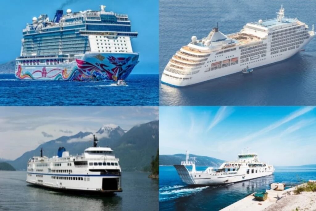
Looking at the map, the Nordics combine short local ferries with much longer overnight routes. This is a large northern region with ferries between islands, fjords, and coastal towns. Compared with the English Channel, distances are often longer and the network is more spread out.
“A Nordic ferry can feel like two different trips at once. One moment it is a local lifeline between islands or fjords, and the next it is a full overnight crossing with cabins, freight decks, and long stretches of cold open water.”
Before you follow the routes on the map across the Nordics, keep these two regional realities in mind.
Do not assume all northern ferries work the same way. Some are short local links, while others are long overnight crossings, so boarding times, cabin needs, and vehicle rules can differ a lot from one route to the next.
On the wider map, distance is the real story. Even when two ports look close, fjords, island chains, and indirect coastlines can make the sailing much longer than it appears.